Unmanned aerial vehicles are now widely used in surveying, construction and environmental protection.
Professional drones can help to map assets quickly and take precise measurements. They can also facilitate purposeful action while ensuring optimal use of resources, safety and employee convenience.
Increase the efficiency of data collection by rapidly creating real models covering parcels and adjacencies using high accuracy solutions and tools.
Land cover and change of use
Real-time generation of 2D orthophotomosaics so that teams can visualise land cover immediately and identify any changes.
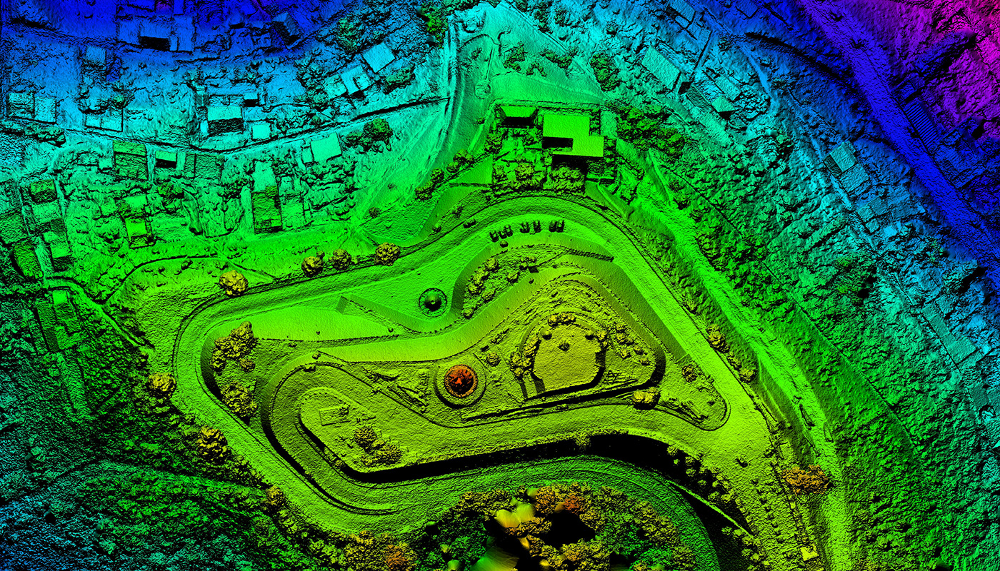
Topographic measurements
Rapid mapping and modelling of large areas using drones to obtain data for accurate 2D and 3D models.
Planning and design of construction
Mapping large areas to capture detailed, precise data. 2D maps and 3D models help teams optimise the planning and implementation of construction projects.
Progress monitoring
Drone solutions, along with image fusion and 3D modelling software, help keep teams fully informed of work progress and resource allocation – keeping projects on time and on schedule.
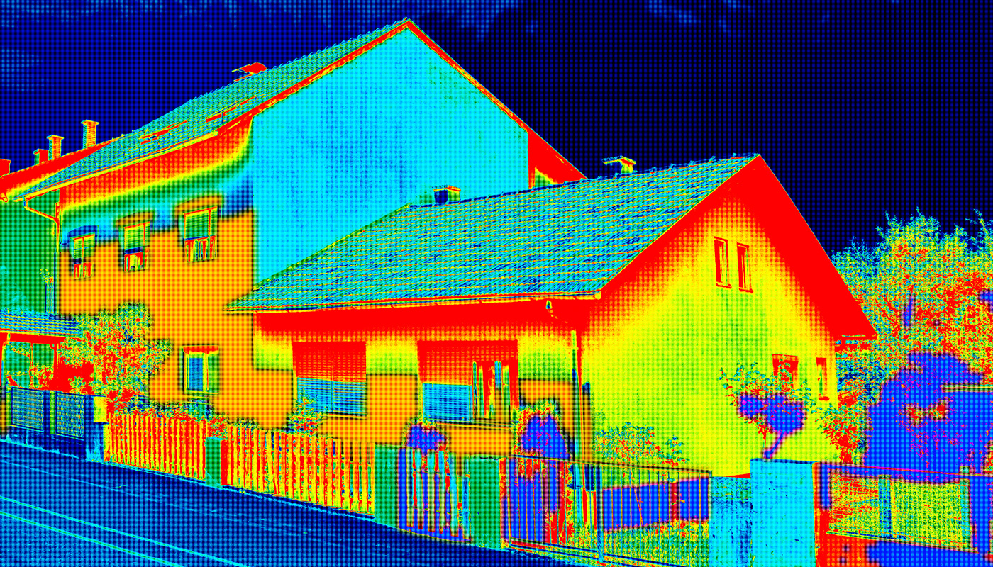
Data collection
Collect accurate data covering large areas using a variety of sensors and software.